Stop 61 of 109 · Where Are We?
1707 · Isles of Scilly, Cornwall
The Wreck That Made Longitude an Emergency
In 1707, a Royal Navy fleet sailed confidently onto rocks it thought were miles away, and the disaster helped launch the century-long hunt for a way to find longitude at sea.
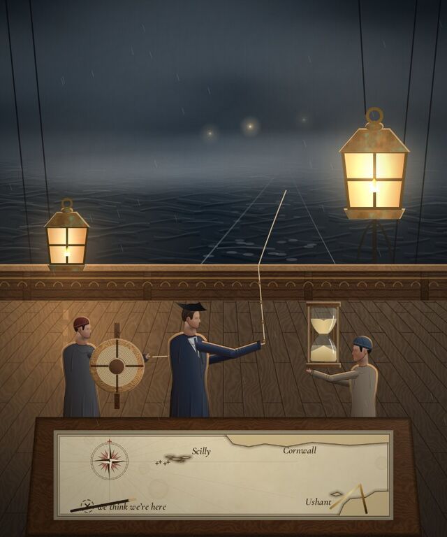
On the night of 22 October 1707, Admiral Sir Cloudesley Shovell's fleet was sailing home from Gibraltar in poor weather, with no clear view of the sun or stars for days. Without those sightings, navigators had only dead reckoning to go on: speed estimated from a knotted line paid out behind the ship, heading from the compass, and elapsed time from a sandglass. Small errors in each piled up unnoticed.
The fleet believed itself safely west of the Isles of Scilly. It wasn't. Several ships ran onto rocks in the dark; four were lost, including the flagship, and the number who died is uncertain, with estimates ranging from around 1,400 to more than 2,000. Some vessels escaped only because they spotted the coal-fire beacon atop the St Agnes lighthouse and turned away in time.
Longitude, knowing how far east or west a ship had sailed, was one of several problems behind the wreck, and by no means the only one; bad charts and compass errors played their part too. But the disaster sharpened a national anxiety that had been building for years, and it fed directly into the Longitude Act of 1714, which offered a prize of up to £20,000 for a method accurate to half a degree.
That prize would eventually push clockmaking itself out to sea: the ultra-precise seagoing watches it funded, built to survive a ship's pitch and roll without losing a second, were direct ancestors of the mechanical watches collectors wear on dry land today.